Mapping & SLAM
Mapping
Computer vision and cartography
Goal for an autonomous robot is to be able to construct (and/or use) a map/floor plan and to localize itself and its recharging bases.
SLAM
Simultaneous Localization and Mapping
Method for autonomous vehicles that enables building a map and localization of vehicle in that map at the same time.
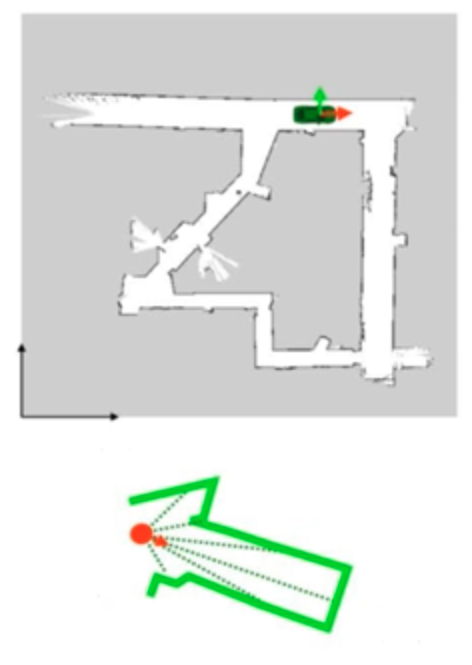
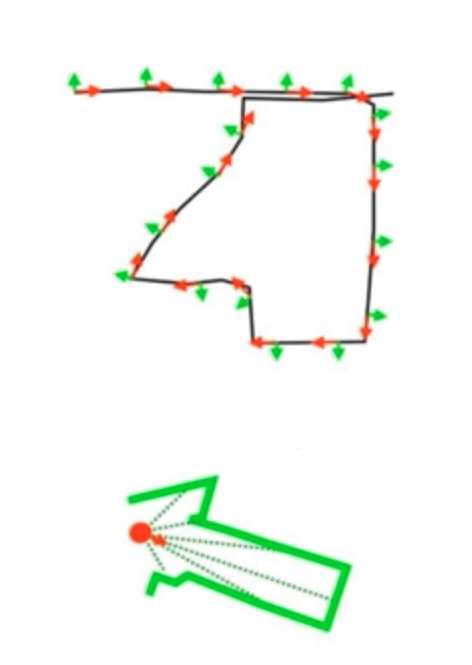
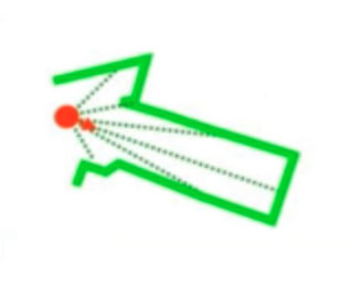
Allow vehicle to map out unknown environments
flowchart LR
sd[/Sensor<br/>Data/] --> fe --> be --> pose[Pose Graph <br/>& Map Information]

subgraph fe["Frontend<br/>(Sensor-Dependent)"]
    direction LR
    me["Motion<br/>Estimation"]
    ole["Obstacle<br/>Location<br/>Estimation"]
end

subgraph be["Backend<br/>(Sensor-Independent)"]
    direction LR
    rpg["Register<br/>Pose Graphs"]
    go[Graph<br/>Optimization]
end| Localization | Mapping | SLAM | |
|---|---|---|---|
| given | Map | object’s trajectory (position at each time) | |
| Use sensor data to | estimate current position of object | map | Build map and estimate trajectory |
 |  |  |
Need for Map
- Path planning
- Limiting error in state estimates, by providing opportunity to ‘reset’
2D Graph SLAM
Considering uncertainty in \(x\) and \(y\), gaussian functions are applied to maximize probability of product $$ \mu = \Omega^{-1} \epsilon $$ where
- \(\mu =\) locations of landmarks and robot positions
- \(\Omega=\) matrix of \(X\) and landmarks
- \(\epsilon=\) vector of constraints
Constraints
- Initial constraint
- Relative motion constraint
- Relative measurement constraint